|
| Shutlingsloe - 506 m.n.p.m |
Shutlingsloe, sometimes descibed as the "
Mattherhorn of Cheshire" is really beautifull place, with interesting views. We start our tour from parking near the
Tegg's Nose Wood. We have to leave the Langley Village, and we follow by street Holehouse Ln. and the end of this road we find car park.. From this place, there are a few trail cruiser. One of them is on the hill Tegg's Nose and this is our destination.
 |
| View from parking area... |
|
|
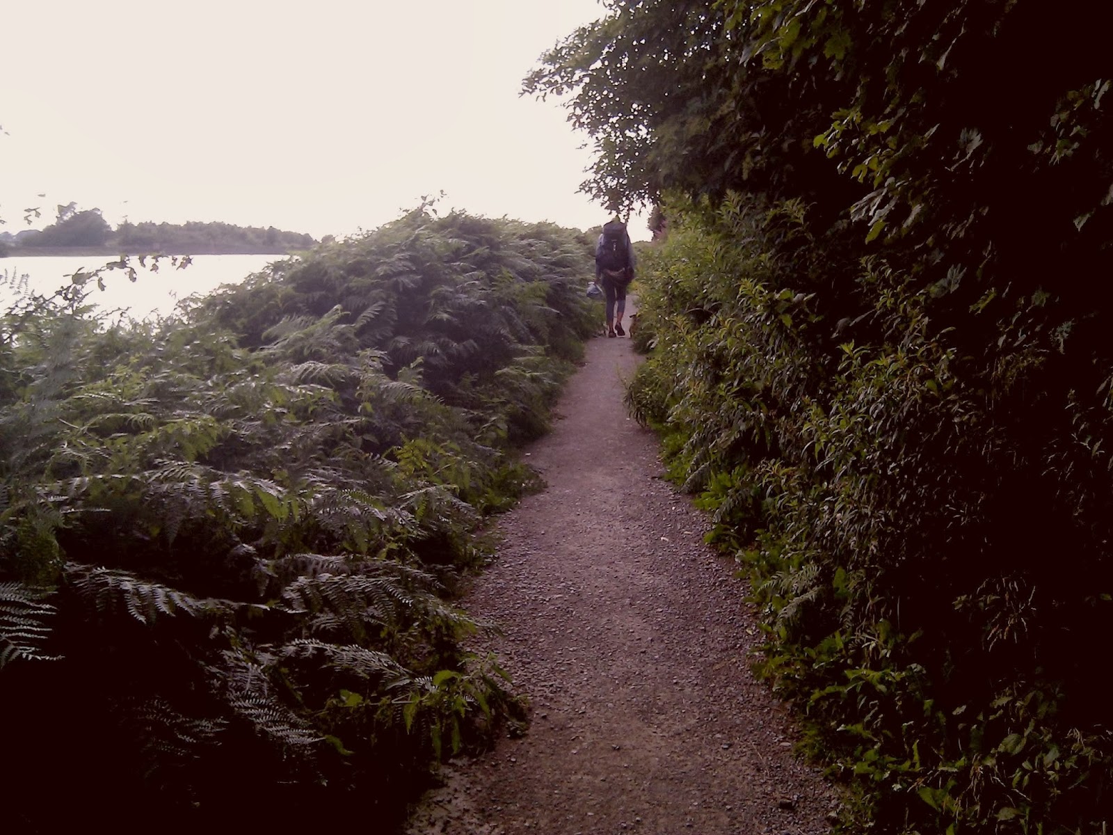
Parking near Tegg's Nose and the beginning of our walking route.
|
Parking is not only situated near the entrance to the trail, but it is also free :) Car park is near Tegg's Nose Reservoir. On the hill Tegg's Nose we have about 20 minutes at a slow pace. At first we enter up the stairs, which are not too high. We walk through the forest, and after about 10 minutes, we go out to an extensive clearing, where grazing cows and sheep. From here we keep going up the hill and after 10 minutes we are on the top of the Tegg's Nose. There is a hill situated east of Macclesfield in Cheshire, England. It has a short ridge with a high point of 380 metres. It lies on the western edge of the
Peak District, although outside the boundary of the National Park.
 |
| This hiking trail is a perfect idea to go out with all family.... |
 |
| Tegg's Nose Reservoir. |
On the hill Tegg's Nose we have about 20 minutes at a slow pace. At first we enter up the stairs, which are not too high. We walk through the forest, and after about 10 minutes, we go out to a extensive clearing, where grazing cows and sheep. From here we keep going up the hill and after 10 minutes we are on the top of the Tegg's Nose. There is a hill situated east of Macclesfield in Cheshire, England. It has a short ridge with a high point of 380 metres. It lies on the western edge of the Peak District, although outside the boundary of the National Park.
 |
| Everyone can reach the summit .... |
 |
| Really lovely place..... |
 |
| A stone bench on the top. |
At the top we can relax on the stone bench and admire beautiful views. This place is great for walk and we met some another people, a lot with dogs :) - like we. Views from Tegg’s Nose overlook nearby Macclesfield Forest and across to the summit of Shutlingsloe which is the second highest point in Cheshire as well as the Telecoms Tower on Sutton Common and the Macclesfield Canal. On clear days you can also see as far as the Welsh Hills and Liverpool in the east across the Cheshire plain. From the Tegg’s Nose summmit at a height of 380m or 1246ft there are views over the two reservoirs in the Country Park which are Bottoms Reservoir built in 1850 and the smaller Teggs Nose Reservoir constructed slightly later in 1871. The two reservoirs were used to regulate the water supply to factories in nearby Langley Village.

Historically quarried for millstone grit, Tegg's Nose now includes a range of environments including moorland, meadow, farmland, broadleaved woodland and is rich in wildlife. Originally called "Tegge's Naze", "Tegge" might have been the name of an early Norse settler or might refer to a sheep ("teg"), while "nose" probably refers to the southern promontory. The area is believed to have been occupied during the Bronze Age...
 |
| Historical quarry equipment - Stone saw at the quarry. |
From this place we go straight ahead and follow the path. We follow the hill and after about 10 nminutes we go out on the asphalt road that we have to turn right. For a moment - about 8 minutes - we go asphalt road, then turn right again at the sings for the Maccesfield Forest. On our left side, we pass a restaurant with a parking. Continue to go straight and after a while going down a lovely path. It's a charming place with a view of the large farm where cattle graze - sheep, cows - and the stone houses that remember long time.....
 |
| A route is quite well marked. |
 |
| Part of the asphalt road... |
 |
| Our destination - Shutlingsloe on the right side on this photo... :) |
 |
| Stone houses :) So nice. |
 |
| Notice that markings on the road are sometimes close to the ground. |
When we pass the stone marks we turn left and follow slightly up past a few more houses and farms. In this area there are some interesting walking paths - one of them crosses the farm and we have to go between grazing sheeps. It's so funny, especially when they're all watching us :)
 |
| Sheep sheep sheep - be careful :) |
After about 25 minutes of walking we reach the forest called Maccesfield Forest. This is a very charming forest, where dominated by silence :) Here you can take a break from the noise of traffic. The existing woodland is the last substantial remnant of the Royal Forest of Macclesfield, a once-extensive ancient hunting reserve. The area also includes two reservoirs, Trentabank and Ridgegate.
Macclesfield Forest lies on the western edge of the Peak District, within the South West Peak, and is partly inside the boundary of the National Park. The hills of Tegg's Nose and Shutlingsloe stand to the north west and south east, respectively; the moorland of High Moor lies to the south and the Goyt Valley lies to the west. Nearby villages include Langley and Wildboarclough.
 |
| Maccesfield Forest. |
When we go out of the woods, we see a wide farm on the left side of us. There are some cows and bulls... We walk straight about 15 minutes and we come to the village and a
Forest Chapel, who stands in an isolated position in the civil parish of Maccesfield Forest and Wildboarclough in Cheshire. It was built in 1673 and it was rebuilt in 1834.
 |
| Extensive views.... |
 |
| Forest Chapel on left side and Teacher's hose on the right. |
 |
| Teacher's house near Forest Chapel. |
From Forest Chapel we go to the Shutlingslow, but we have about 1 hour walking. First we have to go asphalt road, and after a while turn left onto a path leading into the forest. By forest we go about 30 minutes. After this time the trail leads through the parking, where there is an information board on Maccesfield Forest.
 |
| Information board on Maccesfield Forest. |
When we leave the car park, we have to go behind signs pointing to Shutlingsloe. At first we go along asphalt in order after about 8 minutes to pass on the mountain route between extensive fields. We go along soft groundwork, it seems as if we went all over the moor. We pass the reserve, where breeding grounds of birds are. In this place owners of dogs are asked keeping animals on a short leash.
 |
| We can see our starting point... |
Following the trail to go to Shutlingsloe not high top that offers magnificent views of the countryside. From this place we can see perfectly our starting point. Some 40 minutes away from the summit.
 |
| And finally Shutlingsloe in front of us... |
When we pass a bird sanctuary, we come to rock obstacles. Something like stone steps. Crossing the stone wall, we go straight and we have to climb about few minutes. There are some dangerous loose stones, so we have to go very carefuly, especially in or after the rain... On the hill there is a lot of space - this is a extensive top.
 |
| We are on top in the bottom of grazing sheeps... |
 |
| Admire some views at the top.... |
Shutlingsloe is a hill near the village of Wildboarclough, in the east of the county of Cheshire. It stands to the south of Macclesfield Forest, on the edge of the Peak District and within the Peak District National Park. A steep-sided hill with a distinctive profile, described as the "Matterhorn of Cheshire", it is the third highest peak in the county (Shining Tor being the highest and Whetstone Ridge second highest) with an elevation of 506 m and commands excellent views over Cheshire. Did you know that not only England has own Matterhorn? In Poland also have a peak so called Matterhorn - it's
Kościelec - you're welcome to have a look.

After a short rest on the top, we descend down toward the
Trentabank Reservoir. At the first we go between very colorful fields and then we go to the forst, when there is a reservoir. It takes about 40 minutes - the slow pace of.
Starting from the agricultural fields come to the signpost, we follow the Trentabank. From this point on for about 15 minutes going forest path, still down. Forest, we follow the signs. We pass an information board of Trentabank and follow straight on down. The slope is small so goes well. After less than 30 minutes we come to a place where you can relax and eat something. This place is, where there is a car park, which most tourists overlook the Shutlingsloe. We move on. We pass two lakes, and after about 40 minutes, turn right and walk to our car park. In this way, we have come a loop through the beautiful, vast hills of the Peak District.
 |
| Place of rest... |
 |
| Caution! The reserve can not be entered with dogs. |
 |
| After descending we pass a roadside pub, surely you can eat well, but we do not stop going on..... |
 |
| ...scenic areas.... |
 |
| And......... we finish our trip :) |
We definitely recommend this trip as a family stroll through the hills of the Peak District. With pleasure we walked paths that showed us a new unknown beauty of England - quiet, yet close proximity of civilization in the mountains....
See you on the trail
a&k&s
....sorry for the shortcomings of language - we are still learning :)


